
Fields & boundaries
My Fields holds every field you farm, owned or rented. Draw them, drive them or import them, sort them into groups, and AgSaver matches your work to them automatically.
Tap the corners or drive the edge
Add a field by tapping its corners on the satellite map, or drive around it during a work session and turn that lap into the boundary. AgSaver tidies a driven boundary down to its corners and works out the acres.
- Up to 100 corners per field
- Move a corner by dragging it
- Acres calculated from the outline
- Name each field the way your farm does
Bring your boundaries with you
Already have your fields mapped? Export them from John Deere Operations Center, Climate FieldView, Google Earth or another mapping tool and open the file in AgSaver. It lists every boundary it finds so you can pick which ones to bring in.
- Shapefile (zipped), KML, KMZ and GeoJSON
- Keeps farm or folder names from the file as groups
- Choose which fields to import
- Imported fields are added to the ones you already have
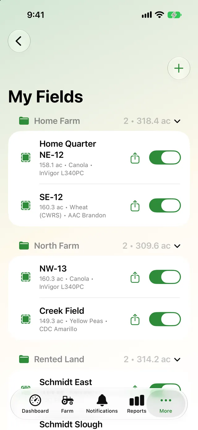
Sort fields by farm, quarter or landlord
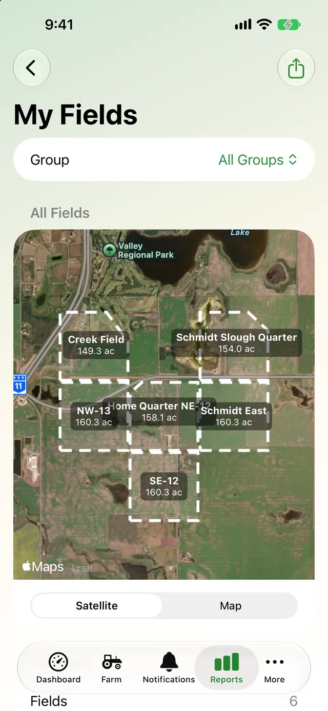
Put fields into groups like Home Farm, North Farm or Rented Land. Each group shows its field count and total acres, and you can filter the map and reports by group.
- Collapse groups you're not working in
- Total acres per group
- Show or hide each field on the work map
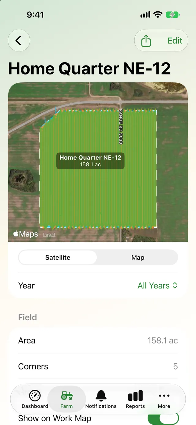
Everything about a field on one page
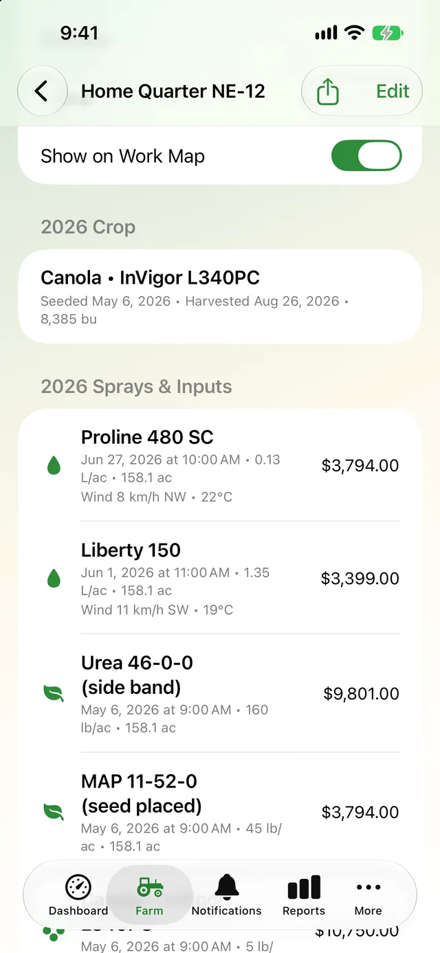
Open a field to see it on satellite imagery with its area and corners, this year's crop, every work session that touched it, its sprays and inputs, yield and profit, and its crop history.
- Filter the field's work by year
- Acres worked in each session
- Share the field as a PDF and KML
- Edit the boundary any time
Fields that do the bookkeeping for you
Once your fields are in, the rest of AgSaver uses them.
Automatic matching
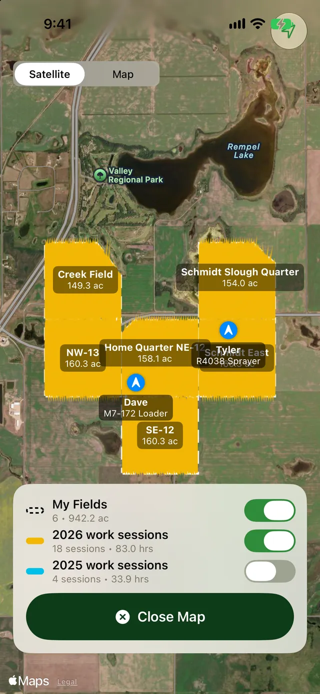
Work sessions are matched to the fields they ran in, with the acres covered in each, without you picking a field.
Field reports
Make a PDF of one field or all of them on satellite imagery, with KML boundaries to load into other mapping software.
Crop records per field
Each field carries its crops, sprays, inputs, yield and profit year by year.
My Fields report
Acres, crops and work across all your fields, filtered by group or year.
Syncs with everything else
Fields are included in backups, exports and iCloud sync between your devices.
Many formats
Shapefile bundles, KML and KMZ from Google Earth, and GeoJSON are all read straight from the Files app.
More of what AgSaver does
Put every hour and every acre to work.
AgSaver runs on iPhone, iPad and Apple Watch. Your records stay on your devices and your own iCloud.
 Scan to download